How It Works
Upload the flight
Upload your drone imagery and get a stitched field map back.
Link it to the customer
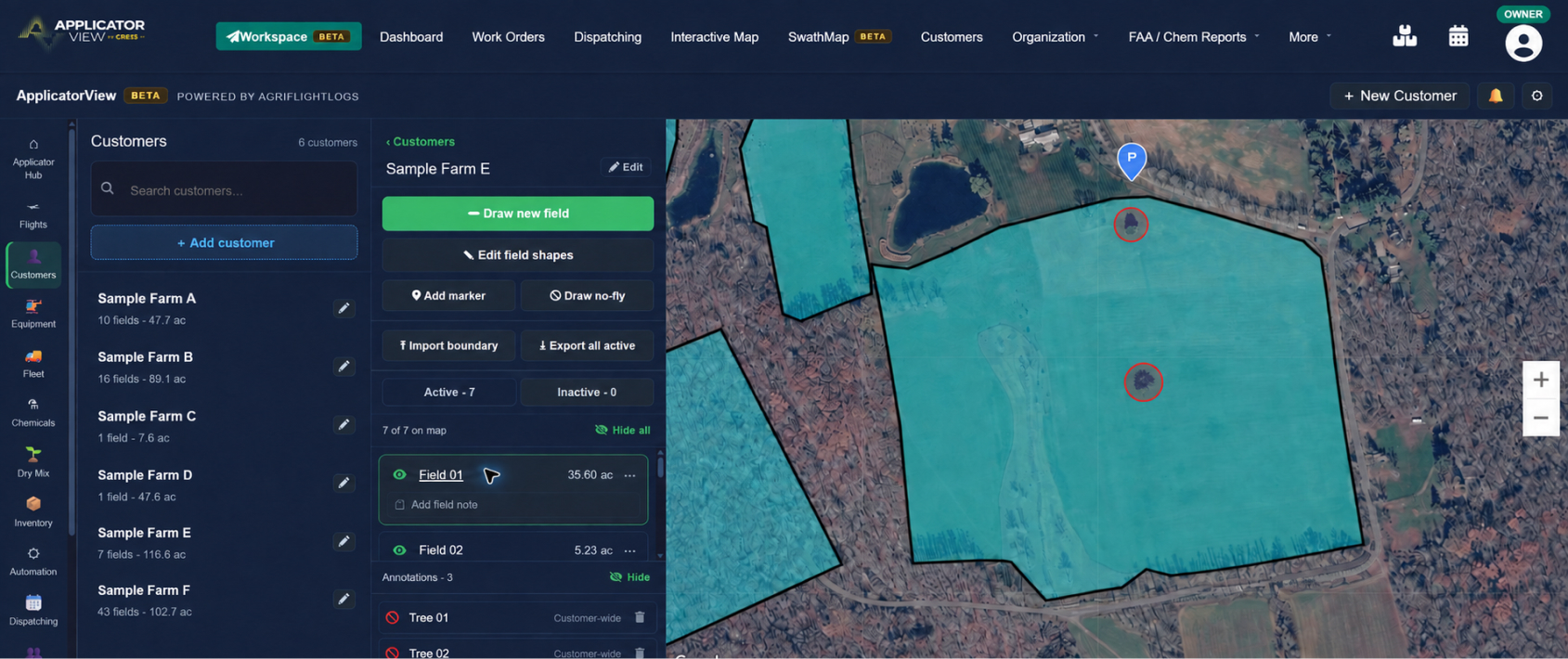
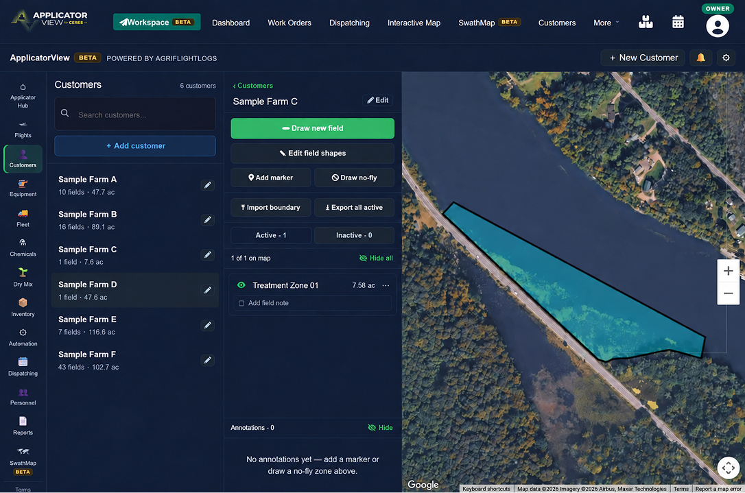
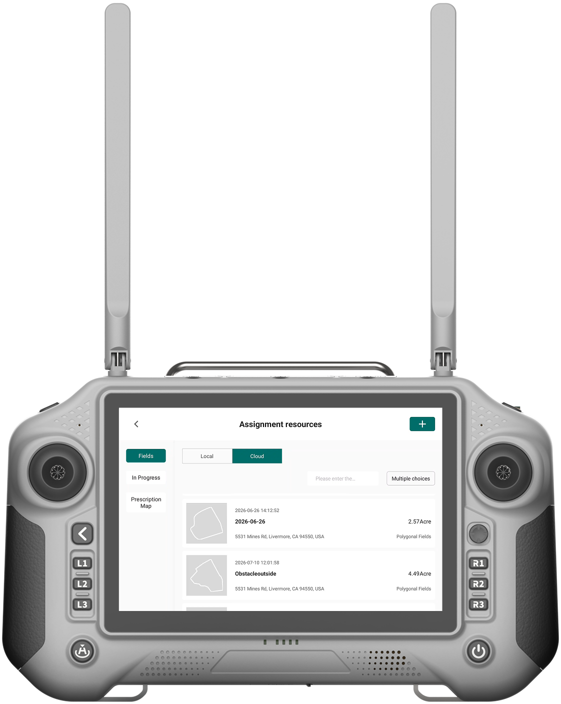
Link the map to a customer and pull their fields onto the ortho.
Mark it up
Draw boundaries, obstacles and no-spray areas on the map and save them to the customer.